

Unlock new levels of detail, accuracy and scalability

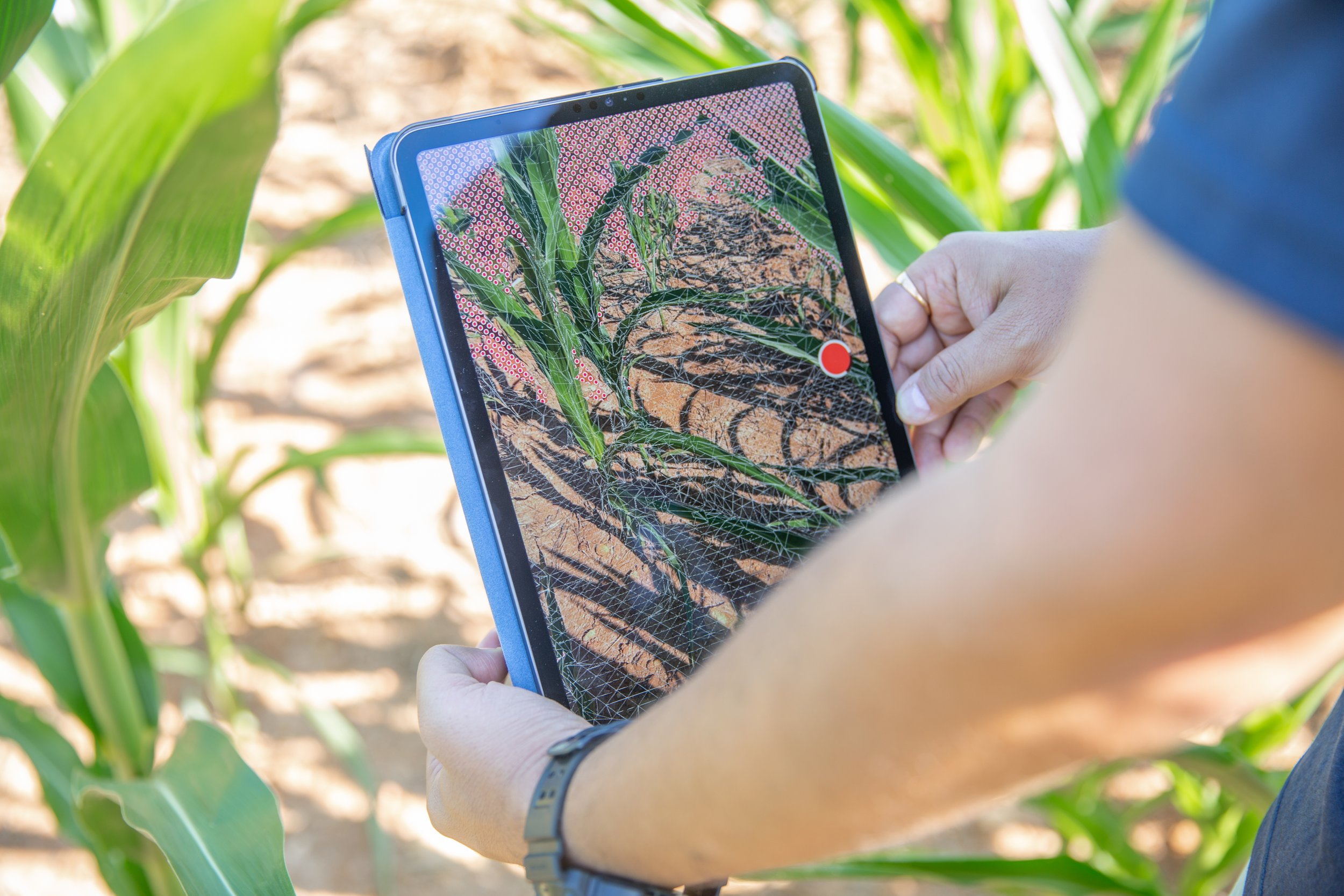
Agerpoint Capture App
Use your iOS or Android device to create digital twins of crops and trees.
Get accurate plant measurements with accessible technology.


Agerpoint Capture is compatible with all modern iOS and Android devices.
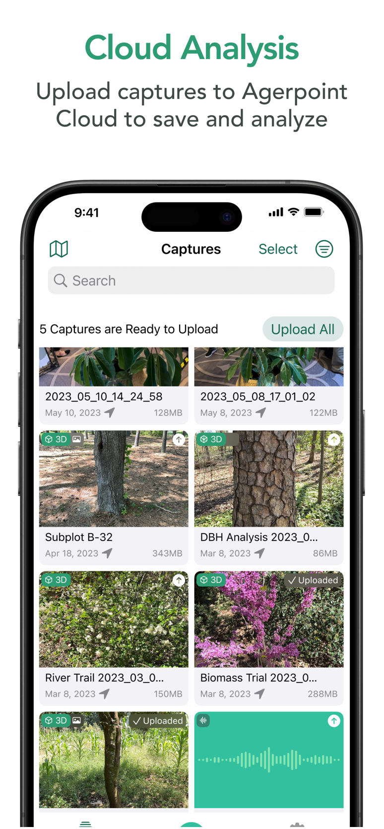
Agerpoint Cloud Platform
An AI-enabled spatial data management and analytics platform empowering full-resolution, 3D twins of crops and trees.
3D Model from Smartphone | Tree Inventory and Biomass
Intuitively organize, manage and interact with 2D and 3D datasets.
Generate crop, plant and/or use case-specific metrics, correlations and insights.


Upload models from the Agerpoint Capture app for detailed measurements including canopy size, trunk diameter, fruit count, disease presence, species identification, and more.
Agerpoint Cloud fuses Captures with other data layers from satellites, drones, ground vehicles, and IoT sensors.
The platform also integrates field observations, weather, soil moisture, and more.
Professional Services

Training and Data Acquisition
Agerpoint Capture and Agerpoint Cloud software training
In-field data acquisition training and certification
Custom Software Development
Mobile and Cloud Development
API integration services

Data Science
Aggregation and fusion of geospatial data
Machine learning model development and data interpretation
Technology Evaluation and Implementation
Technology evaluation and proof-of-concept
Implementation support