

Field Intelligence
That Drives Decisions
Agerpoint is the field intelligence layer that helps agriculture perceive, learn, and act.
Agerpoint turns real-world field data into AI-powered intelligence.
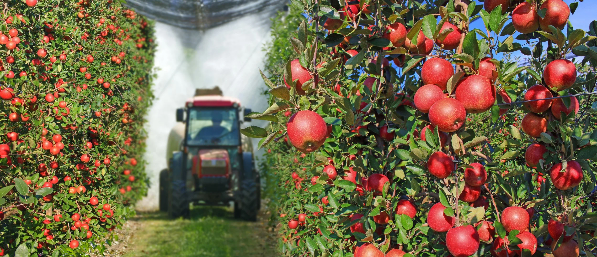
Our platform combines smartphone scans, LiDAR, satellite imagery, drones, sensors, tractor data, and connected equipment inputs to understand crops, trees, and field conditions at operational scale.
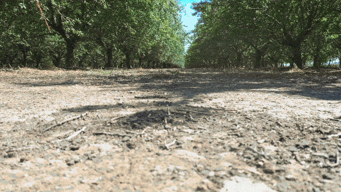
Built for the realities of production agriculture, Agerpoint helps customers generate agronomic insights, improve supply-chain visibility, and deploy rugged Physical AI where decisions happen: in the field.
Trusted by Industry Leading Clients & Partners


Recognized for Innovation
World Economic Forum
Tech Pioneer & Carbon Market Challenge Winner
Backed by Science
A growing patent portfolio
covering more than 100
crop and forest types.
Intelligent Equipment
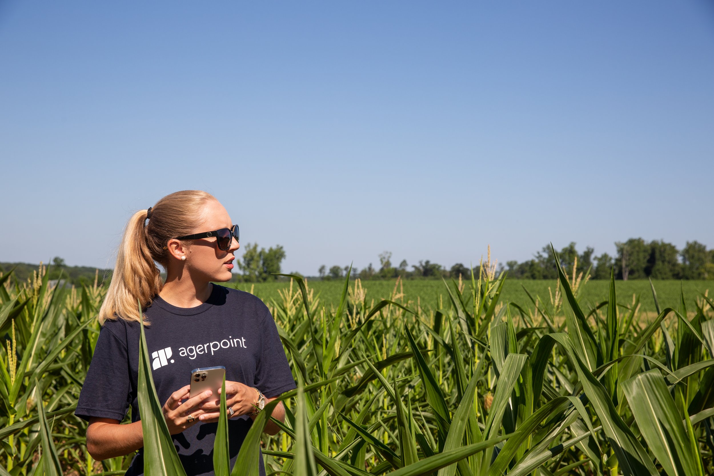
Plant and field-level intelligence embedded directly into equipment and in-field workflows
Agerpoint tools help you:
Assess crop health and damage
Identify early signs of pests and disease
Measure size, biomass, and other morphological characteristics
Monitor crop growth and plan for harvest operations
Track wildfire risk and encroachment
Inventory invasive, protected, and desired species
Evaluate and monitor biodiversity
Better data means better decisions for:


Research & Development
Food and Beverage Supply Chain
Insurance, Risk, & Finance
Land Use & Compliance
Agriculture
Conservation & Restoration
Carbon Markets | Digital MRV
Biodiversity Monitoring
Forestry Management
Natural Asset Management

Conversations with leaders at
the intersection of climate, agriculture, nature, and technology


As climate volatility and food security pressures reshape agriculture, understanding the field has never mattered more.
Agerpoint makes that intelligence accessible through practical AI tools built for the devices, equipment, and workflows used across modern agricultural operations.